NWT App
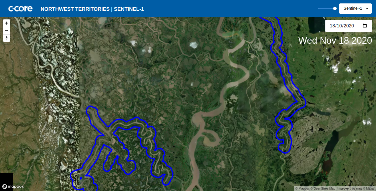
A web interface displaying a geographical region of the Northwest Territories of Canada
Service Description#
Service Name: NWT App
Description: The interface displays a the northern region of the Northwest Territories, centered between Inuvik Town and Aklavik Hamlet. It is purposed to display rivers and water channels encompassed within this region.
Ancilliary Information#
Service set-up prerequisites:
- An shp/json file containing buffered river masks as polygon data.
Developers#
- Kyle Shal
Architecture#
- The max bounds of the map are set to be a 20 Kilometre buffer around the bounding box of the polygon river mask.
- The interface displays a satellite base map using Mapbox and has sentinel-1 and sentinel-2 layers displayed as raster data.
Key Technologies#
- Built with vite+react scaffold
- Uses Turf for extra geospatial analysis
- Implements a Mapbox GL JS Map through react-map-gl
- Interface components customized using Chakra-ui
Repository#
- The northwest-territories-map-interface repository lives in the c-core-labs organization.
Interface Features#
- The Sentinel layers can be switched using the select component in the top right.
- A date selector allows different sentinel imagery to be displayed based on the dates chosen
- An opacity slider allows a user to change the opacity of the sentinel layers and view the underlying base map.
- The web application is deployed using Netlify and can be found here.