Users
Engagement of the following user groups will help determine end-user requirements for the searchability, discoverability and interoperbility of geospatial data.
| endUser | Customer Segment | Organization | Application Area |
|---|---|---|---|
| Remote Sensing -GIS Services Company | GIS Services | C-CORE | Ice-Maritime-Land-Infrastucture-Water |
| UAV | RPA Data Provider | ArcticUAV | Drone Data Projects and Data |
| Infrastructure | Pipeline Monitoring | Energir | Data management and Monitoring |
| Infrastructure | Transmission Line Monitoring | HydroOne | Data management and Monitoring |
| Satellite Company | GHG Monitoring | GHGSat | Data management and Monitoring |
| Government | Data Management | NRCAN | Data management and Monitoring |
| Other UAV | RPA Data Provider | TBD | Drone Data Projects and Data |
Questions#
DATA PROFILE#
- What types/sources of geospatial data do you use on most often?
- Which raster and vector formats do you find best to work with?
- Are there sources you would like to use but are unable to use justify in day to day use due to issues in searching, retrieval, file formatting or excessive preprocessing required?
DATA PORTALS#
- What is the best available data portal imagery and vector data?
- How often are you unsure what data is needed you when you search geospatial data portals?
- When looking for data, are there times when you have to wait for data to become available in order to proceed? How do you reduce the impact of these wait times?
- How often do you use the product description data from the webpage to assist in work using downloaded data?
API ACCESS#
- How often do you use APIs to automate data access?
- Are there datasources you know of that have suitable data but lack of organization that prevent process automation
Sample features collected features list#
- AOI Based search- Date Ranges- Text based search- Facet Search- Image/data subsetting- Image statistics- Visualization- Categorical Search- New data noficiationsRPA provider questions
Data Handling#
- What kinds of sensors do you use?
- How do you store your data in the field?
- How do you store your data in the office?
- How do you share your data with customers?
- How do you use your data (in situ or streamed)
- What challenges do you have with your data?
- Cost of software
- Speed of preprocessing
- Size of data
- Do you buy your own hardware? Is it expensive?
- What data formats do you work with?
- Do you do any post processing or specialized analytics?
Oil/Hydro enterprise questions (Energir Sample)
- How do you manage your geospatial assets?
- Imagery
- Photos/Video
- Reports
Sample user pool#
- C-Core EO order desk staff and analysts - Pam Burke and Mark Howell
- EO Operations Manager - Mike Lynch
- RPA Data collection/use - Rob Briggs
- Aerial Imagery Industry Expert - Chris Boyce
- EO Research and Development - C-Core Ottawa.
Sample Interfaces#
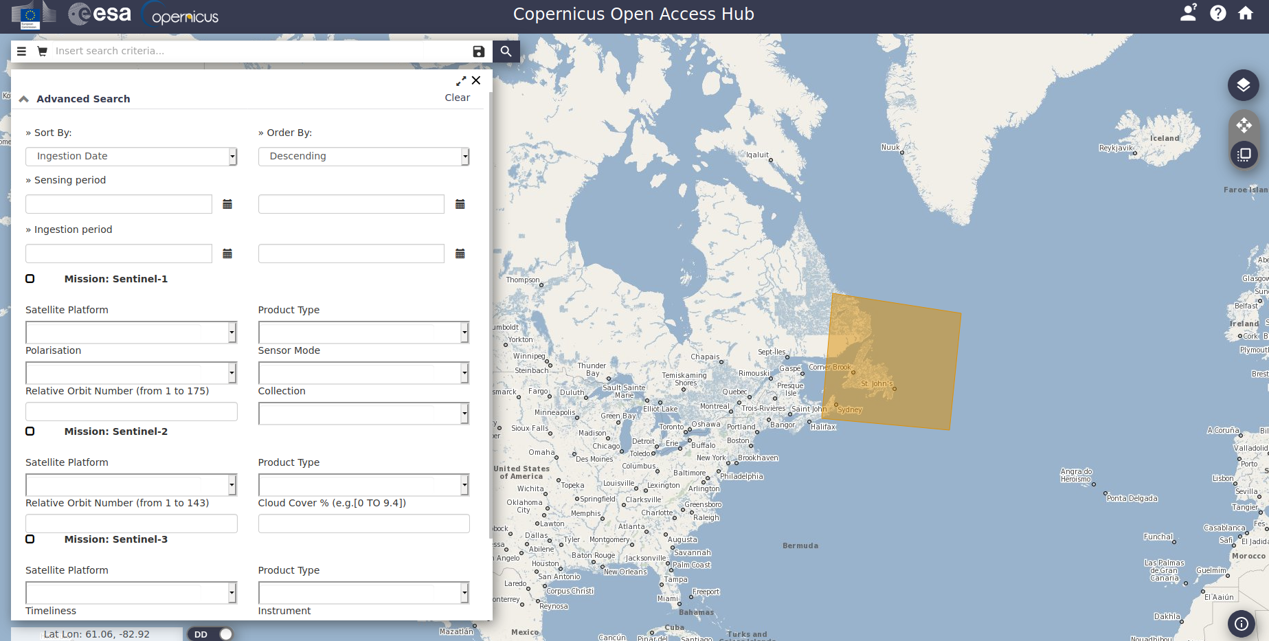
ESA- Copernicus Open Data Hub#
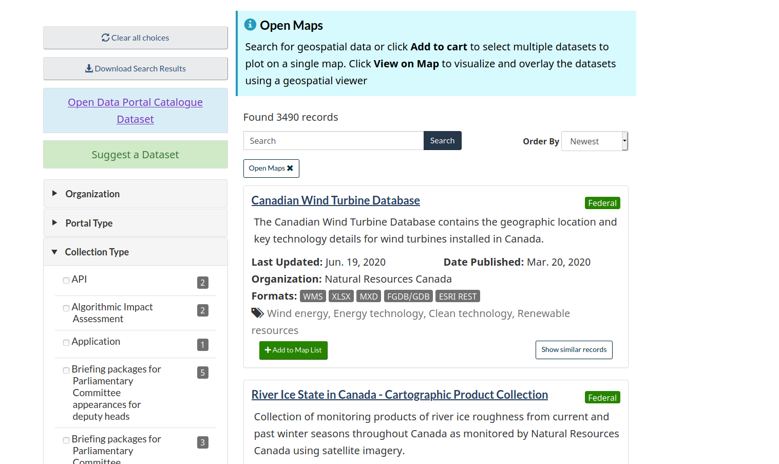
Canada Open Data Portal#
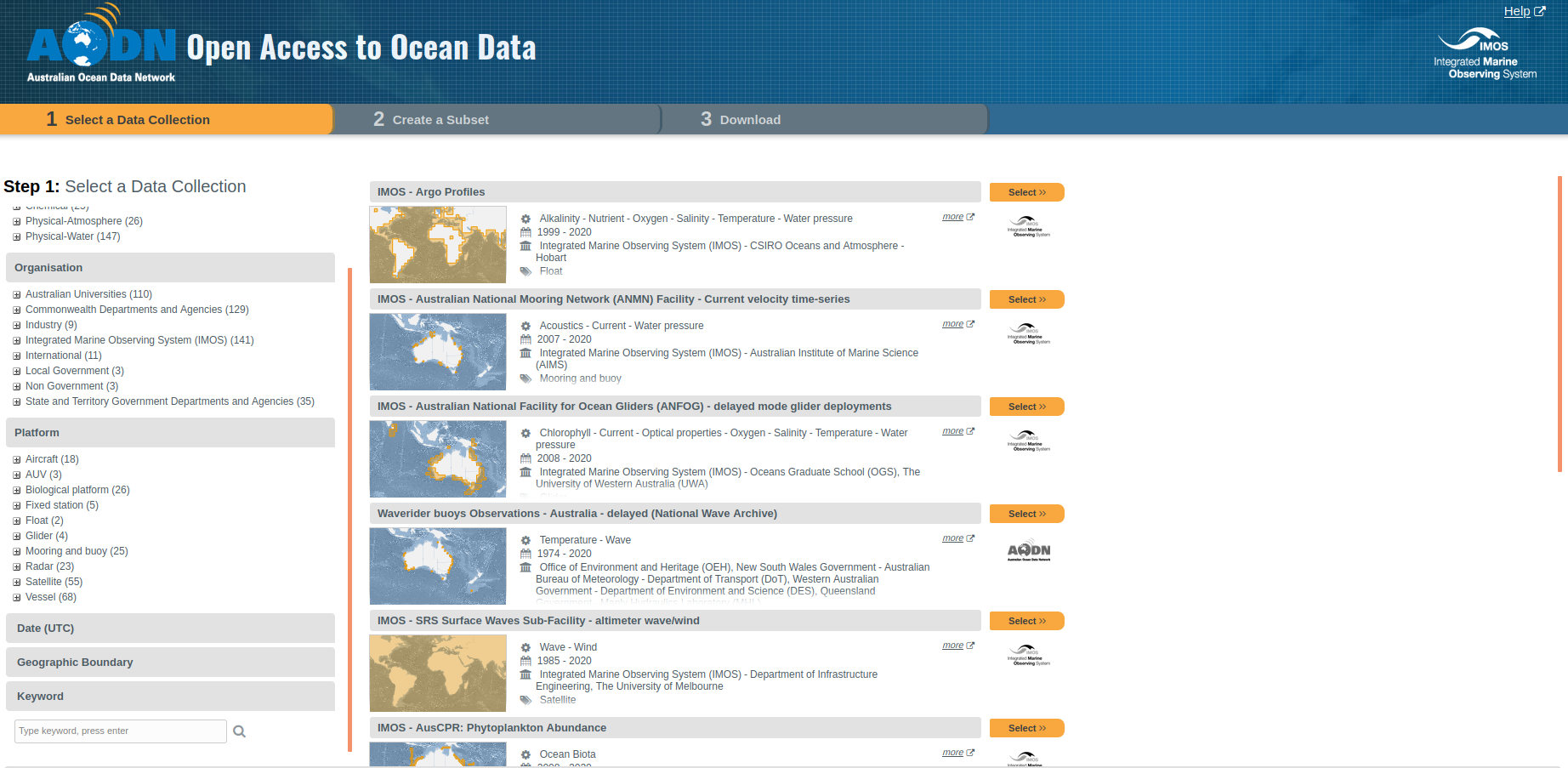
AODN Australian Open Data Network#
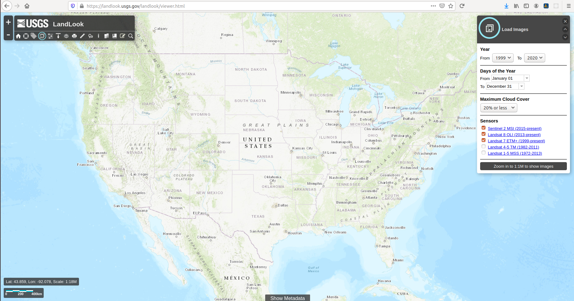
USGS LandLook Viewer#
Landsat Look Viewer Download Tutorial
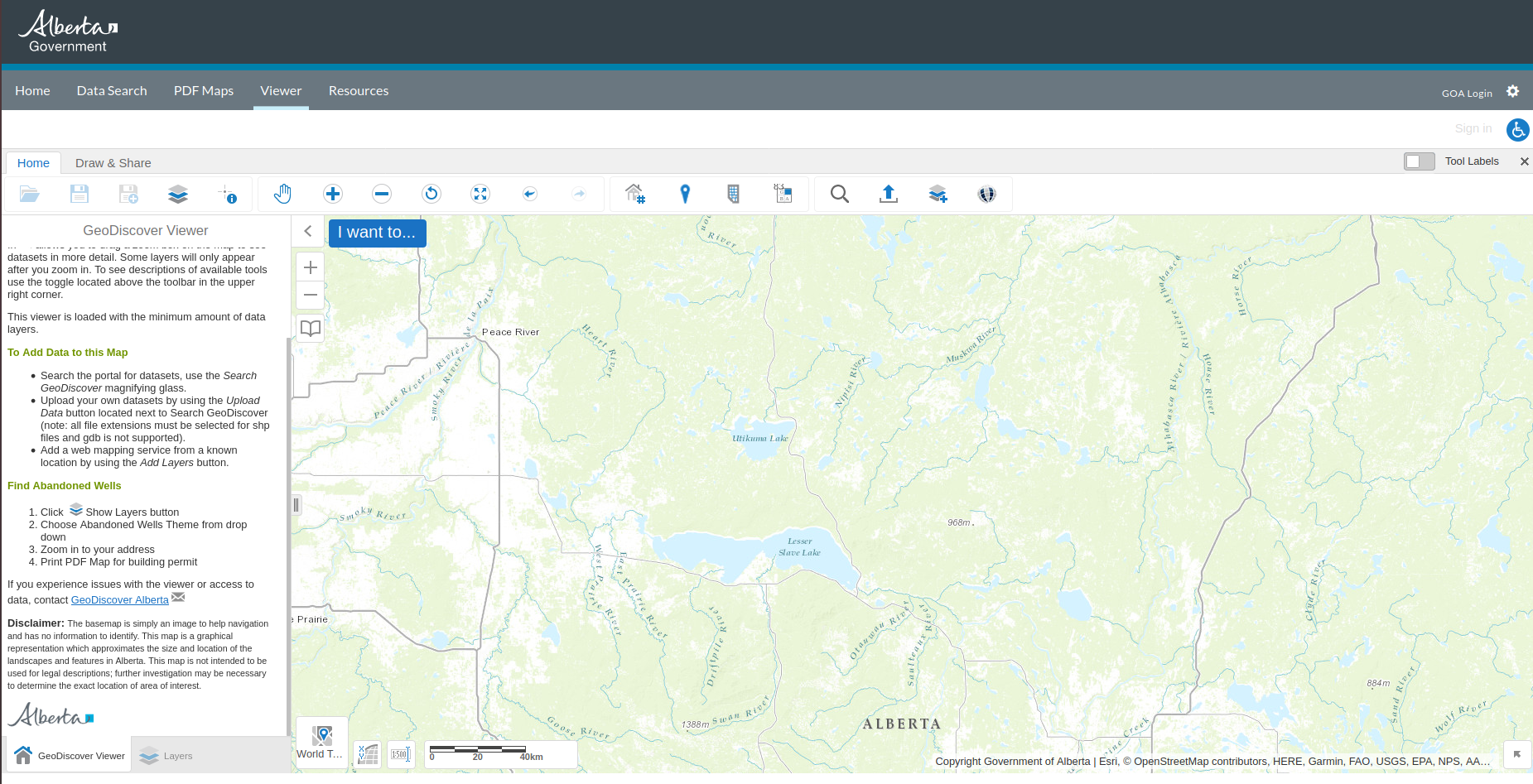
Alberta Government Geodiscover Viewer#
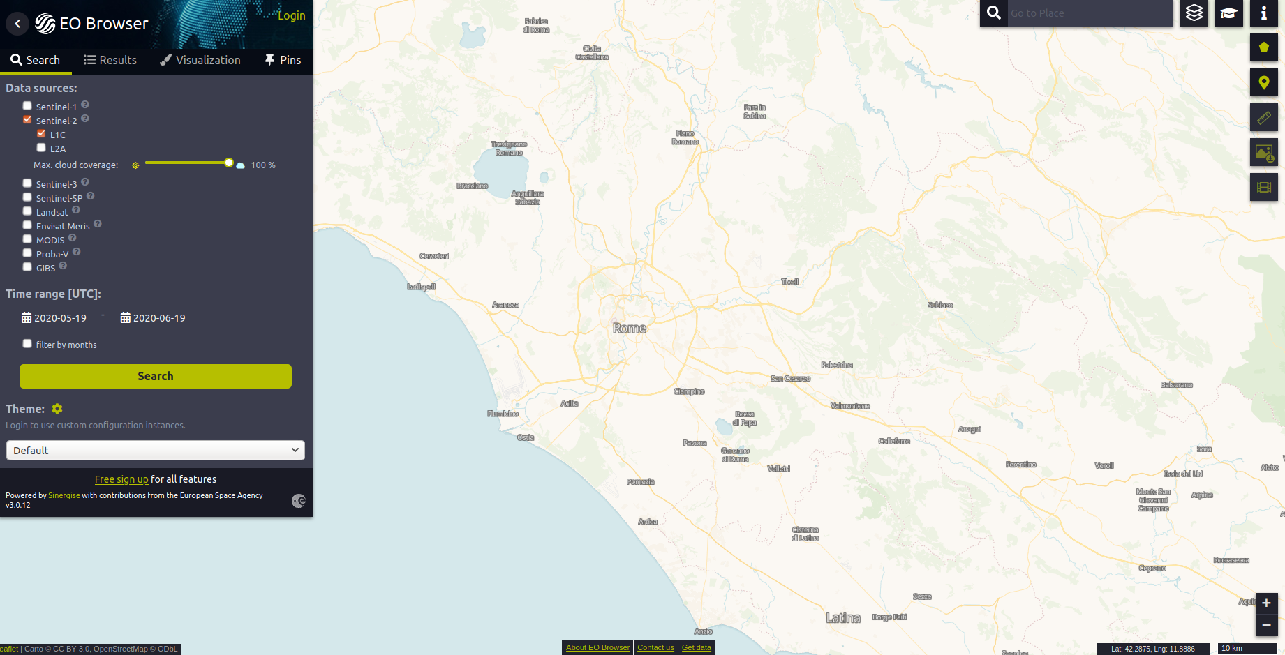
EOBrowser#
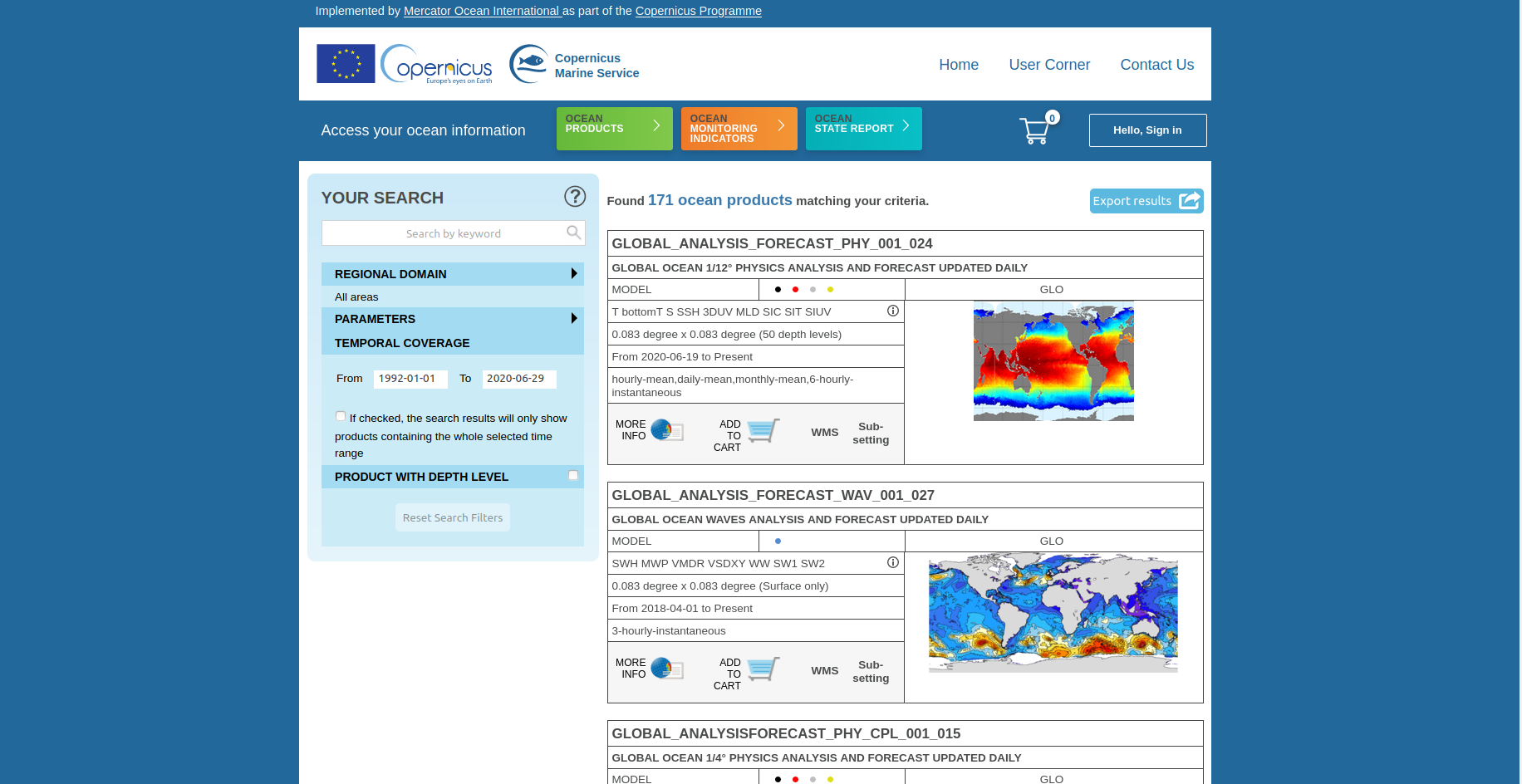
Copernicus CMEMS#
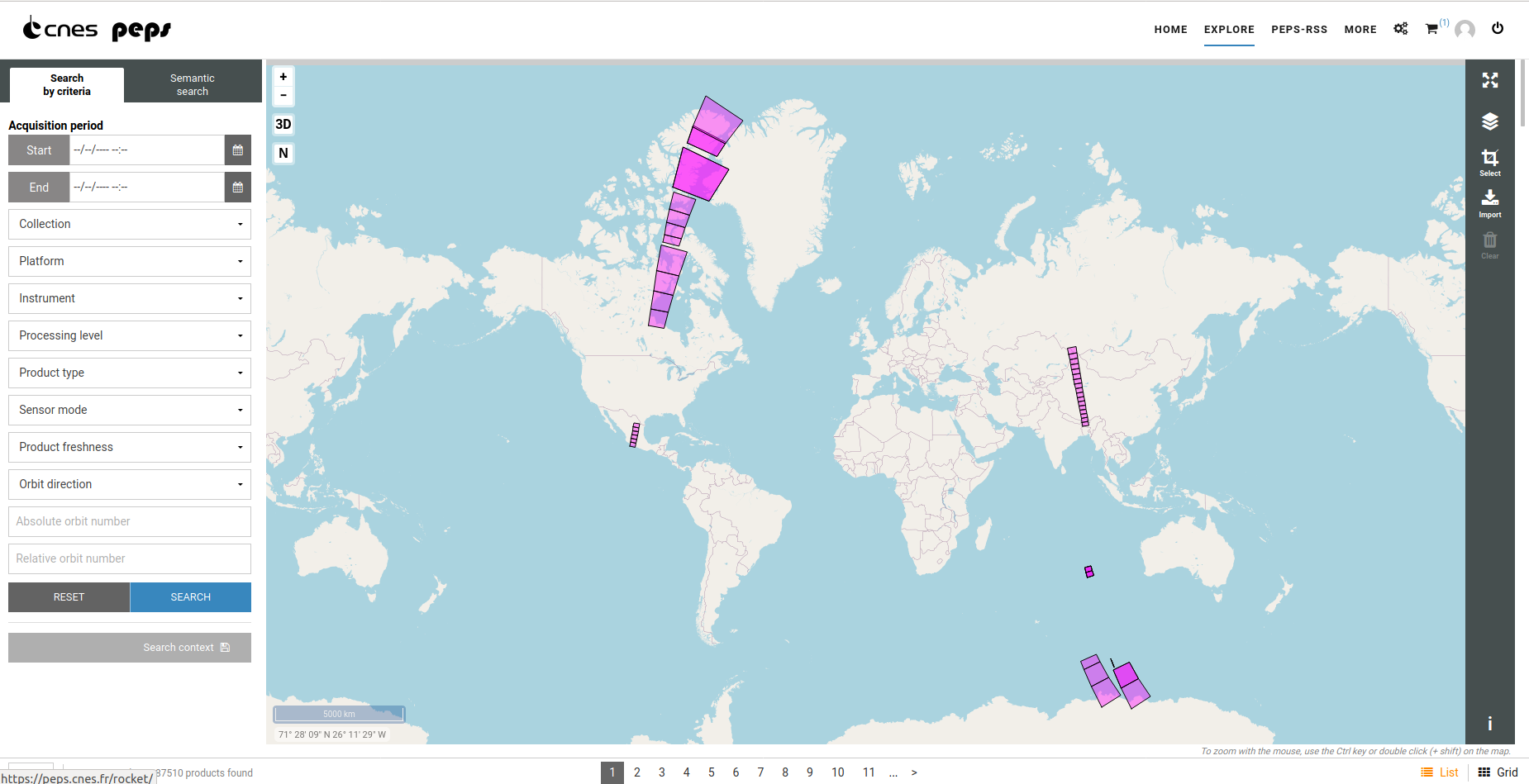
PEPS#
