SAR Oil Rig Detection
Service for viewing data regarding locations of oilrigs in different areas of interest, combined with SAR winds, for usage in assistance of detecting green house gas emissions.
File Provider (EO Team)#
Product Description#
| Service Name | Description | Data Owners | File Type |
|---|---|---|---|
| SAR Oil Rig Detection | Service for viewing data regarding locations of oilrigs in different areas of interest, combined with SAR winds, for usage in assistance of detecting green house gas emissions. | John Bennett | .shp |
Ancilliary Information#
- Product set-up prerequisites:
- Todo
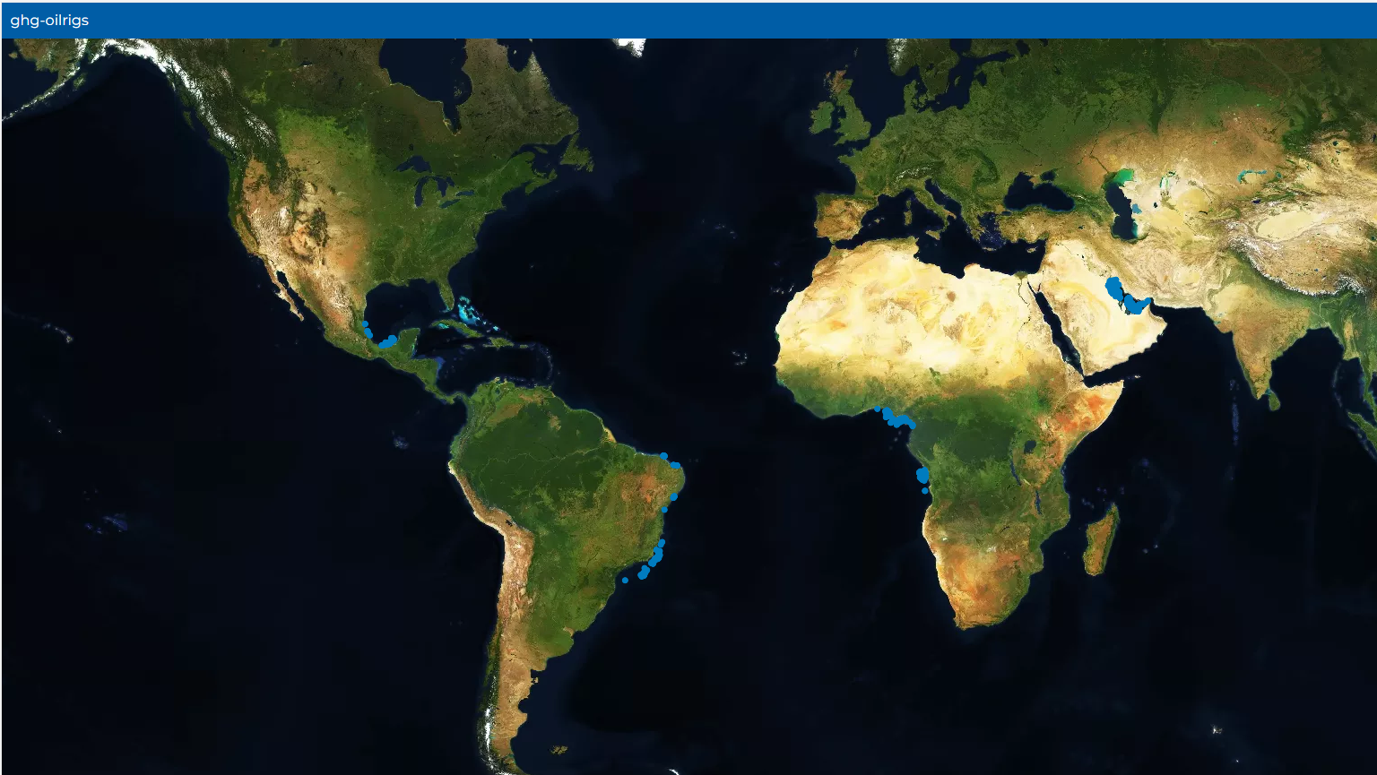
Symbology Map#
Blue dots on the map indicate the location of the oil rigs
| Label | Color |
|---|---|
| Oil Rig location | #022dba |
File Uploading Instructions#
No uploading feature currently.
Coresight#
Developers#
- Jack Harrhy
- Nathan MacNeil
Processing#
Description#
Taking in shp files and production geojson (packaged into stac items) that is stored in a firestore collection which authenticated users can access.
Ingester Script#
Technologies used in the script include:
- Pystac - used to create stac items
- Geopandas - used to read the shp files
- Pandas - used to create dataframes
- Firebase - used to authenticate users and store data
Ingester Functions#
None yet.
Service Interface#
- SAR Oil Rig interface features features
- Blue dots on the map indicate locations of the oil rigs.
- A logout button exists to allow the user to logout of the service
- Can zoom in or zoom out of the map